# Cambridge's Official Neighborhoods, Mapped: A Guide to Area Boundaries (2026)
Key Takeaways
•The direct answer: The City of Cambridge officially recognizes a set of named neighborhoods — but the "squares" everyone talks about (Harvard, Kendall, Central, Inman) are commercial landmarks that sit between or inside those neighborhoods, not neighborhoods themselves.
•The myth: A neighborhood name on a listing is plain geography. The reality: it is often marketing copy, and agents "often complicate things by stretching the boundaries of desirable neighborhoods," per National Geographic's reporting on Boston-area maps.
•Why it matters in 2026: After the February 2025 citywide rezoning replaced the old Residence A/B/C labels, the new zoning rules — not the neighborhood name — are now the bigger driver of what gets built next door. Reading both correctly protects your offer, your commute, and your kid's school zone.
•The bottom line: Verify every listing's neighborhood claim against the current official City map — and note the map's date, since names can change.
Why Is the Neighborhood Name on Your Listing Often Marketing, Not Geography?
You're scrolling listings. One says "Harvard Square." Another says "Kendall Square." You picture the location instantly.
Here's the catch: in Cambridge, that name is often copy, not cartography.
The City officially recognizes its neighborhoods on a published planning map. But the "squares" people use every day — Harvard, Kendall, Central, Inman — are commercial landmarks. They sit inside or between official neighborhoods.
Central Square is one of the most recognizable places in Cambridge. On the official neighborhood map, it doesn't exist as a neighborhood.
A stretched neighborhood label can skew your offer strategy, your commute assumptions, and your read on school zones. If you're house-hunting in 2026, you want the official lines — not just the listing headline.
What Are Cambridge's Official Neighborhoods?
Cambridge's official neighborhood map recognizes these areas:
•East Cambridge
•Wellington-Harrington
•The Port
•Area II / MIT
•Cambridgeport
•Mid-Cambridge
•Riverside
•Baldwin
•Neighborhood Nine
•West Cambridge
•North Cambridge
•Cambridge Highlands
•Strawberry Hill
•Agassiz-area/Peabody
A home might be marketed as "near Harvard Square" or "Kendall-adjacent." That's useful lifestyle information, but it isn't the same as the official neighborhood — and boundary names shift over time, so check the map's version date before you trust it.
How Did Cambridge End Up With These Names?
Cambridge neighborhood names change when the community and City decide they should.
In 2015, the area once called "Area IV" became The Port after a community process. Many residents saw "Area IV" as a cold police-and-census label and pushed to restore a name with deeper local meaning.
Then in 2021, the City Council voted to rename Agassiz as the Baldwin Neighborhood, a change that took effect that August, per the City's neighborhood-name records.
The new name honors Maria Baldwin, the first Black female school principal in the Northeast. The old name honored a scientist who promoted racist theories.
That was the first renaming since 2015 — "but likely not the last," as Councillor Patty Nolan put it: "This will not be the last neighborhood, street or building to get renamed."
The lesson for buyers is simple: use a current map, and check its date. A guide published before the Baldwin change may still be steering you toward "Agassiz."
Where Do the Squares End and the Neighborhoods Begin?
Start with one rule: squares are landmarks, not neighborhoods.
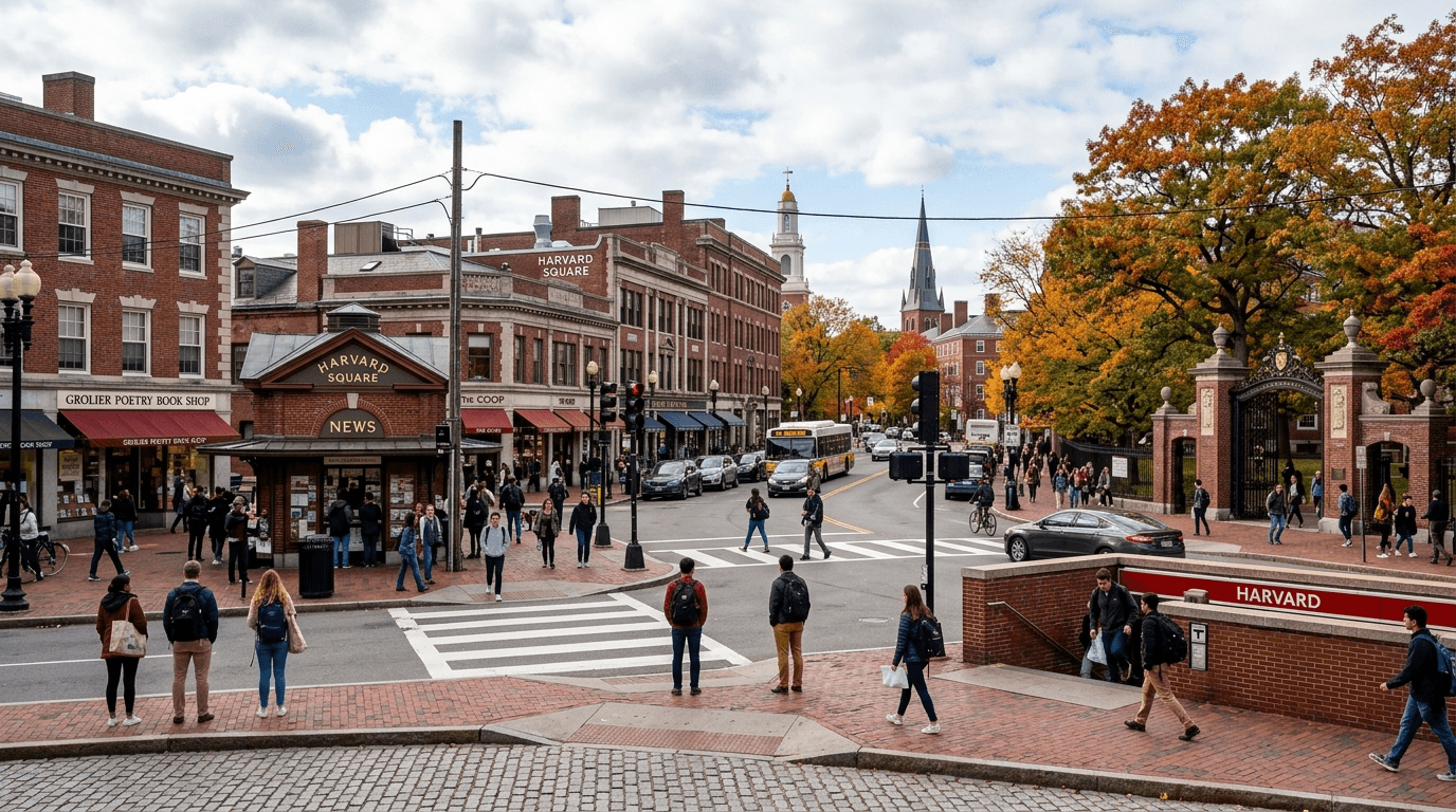
Central Square and Kendall Square are commercial districts. Kendall sits near MIT, inside the area the City still labels Area II / MIT. Harvard Square carries a strong business and cultural identity, but it spreads across parts of several official neighborhoods.
National Geographic asked residents to draw Cambridge from memory. The result "looks almost as if people were intentionally avoiding the official neighborhoods" — real areas like Wellington-Harrington and Riverside nearly disappeared, "drowned out by Harvard Square or Cambridgeport."
That's how people talk. But buyers need both versions of the map:
•The lifestyle map: Where you shop, walk, eat, and take the T.
•The official map: The line that affects civic identity, school questions, and neighborhood data.
For decisions that matter, verify the official line.
Why Do These Boundaries Matter for Buyers and Sellers in 2026?
Boundaries shape the things you actually care about — school-zone assumptions, civic identity, and the neighborhood-level data you use to judge a listing.
Walkability varies block by block, too. Per Walk Score, Harvard Square rates highly walkable, meaning most daily errands can be done without a car. That car-light lifestyle belongs to the unofficial "square" geography — useful context, but confirm the exact address against the official map before weighing it into an offer.
And now, future density matters more than ever, with zoning — not the neighborhood name — as the decisive variable.
On February 10, 2025, the City Council adopted two petitions allowing multifamily housing citywide, per the City's "Cambridge Zones for Multifamily Housing Citywide" page. Every residential district except open space now shares the same basic rules.
Here's the key number: in the new Residence C-1 district, buildings can rise up to six stories on lots over 5,000 square feet. That taller option requires 20% of the floor space set aside as permanently below-market housing. Otherwise, the limit is four stories by right.
Cambridge Multifamily Zoning: What Changed in 2025
Hero-style snapshot of Cambridge’s February 2025 citywide multifamily zoning changes, including adopted petitions, height allowances, and the inclusionary housing requirement.
| Category | Citywide zoning change | Residence C-1 allowance |
|---|---|---|
| City Council vote date | February 10, 2025 | - |
| Number of zoning petitions adopted | two | - |
| Maximum stories allowed in Residence C-1 (general) | - | up to four stories tall |
| Maximum stories allowed with inclusionary housing | - | up to six stories |
| Inclusionary housing requirement | - | 20% |
So the lot next door may gain height and units over time, regardless of which neighborhood name appears in the listing. That makes the zoning rule the bigger driver of future change, while the marketing label just sets the mood. The name still shapes identity and school questions; the zoning shapes what actually gets built.
What Are the Best Arguments Against Caring About Boundaries?
There are two fair objections.
"Boundaries are just labels. The address, schools, and price matter more."
True — but boundaries shape the data you use to judge that address, and even official maps can disagree with each other. In Boston, different boundary maps of Jamaica Plain produced different population stories across Census breakdowns, depending on which lines were used. Same ground, different result. Check boundaries and note which map version you're using.
"Official names rarely change, so any recent guide is fine."
Not quite. The Agassiz-to-Baldwin change means any guide using the old name is now behind the City's official map — which is exactly why the map's date matters.
When Is the Official Map Not the Whole Story?
The official map answers civic, zoning, and school questions. Daily life is messier.
People still say they live "near Inman," "by Central," or "in Harvard Square." You'll also hear tiny unofficial names, like "Duck Village" near the Cambridge-Somerville line. Locals use them freely, even when the City doesn't recognize them.
Those names tell you a lot about lifestyle and identity. But when money's on the line, separate the two:
Use unofficial names for feel. Use official boundaries for decisions.
What Should You Check Before Making an Offer in Cambridge?
Before you write an offer, do two things.
1. Confirm the parcel's official neighborhood and school zone using the City's current official neighborhood map — noting its version date — not the listing headline.
2. Check the Residence C-1 zoning for the block so you understand what could be built nearby over time.
One note for renters: if you're renting while you search, ask your agent about current broker-fee rules before you sign, since a recent Massachusetts law may change who owes the fee.
To get a feel for the unofficial map, visit during a real community moment. Cambridge Porchfest returns July 11 and 12, 2026; its 2025 debut drew more than 80 performers across 25 locations — a practical way to experience how neighborhoods blend on the ground.
Cambridge Porchfest: Community Culture Signal
Snapshot of Cambridge Porchfest’s launch scale and scheduled second annual event timing.
| Category | 2025 inaugural event | 2026 event |
|---|---|---|
| Performers | more than 80 | - |
| Locations | 25 | - |
| Event Dates | - | July 11 and 12, 2026 |
| Time | - | 12 to 6 p.m. |
| Edition | - | Second Annual |
Read the lines correctly and you protect three things at once: your offer, your commute, and your child's school zone. In 2026 Cambridge, boundary literacy is a quiet advantage.
If you'd like help checking a specific address against the official neighborhood map, school zone, and current zoning rules, send the address before you make an offer.